 |
The Undercliff - Blackgang to NitonIsle of Wight |
Old postcards are sometimes poorly produced and grainy, I've done my best to scan them. Please click thumbnails for full size picture. Dates are from the card or my estimate (where possible). The manufacturer of the card is shown in brackets (where available).
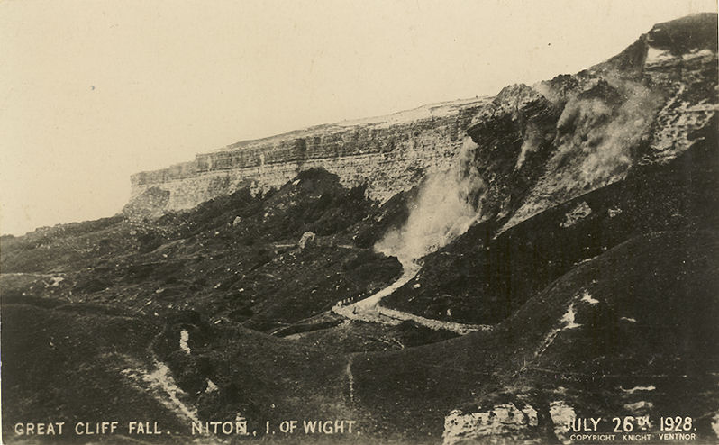
The Undercliff originally ran from St Lawrence to Blackgang, the part form Niton to Blackgang was closed following a cliff fall in 1928, the part from St Lawrence to Niton has remained open but is liable to subsidence.
This is nothing new, Black's Guide of 1870 states;
'A fearful fall occurred in February 1799, when a farm near Niton, called Pitlands, and about 100 acres of land, were rent to pieces at one sudden catastrophe. At east end, in 1810, 30 acres were uptorn in a similar manner, and 50 acres in 1818'
There is also a story that there is a lost village off Chale, and the church bells can be heard ringing at certain times!
The fall in 1928 was not unexpected, there had been signs of it since February of that year. the estimate of the fall varied between 100,000 and 200,000 tons of rock.
 |
 |
|
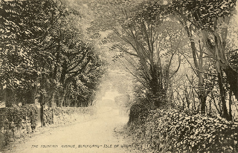
Fountain Avenue, leading to the Undercliff. (Ideal) |
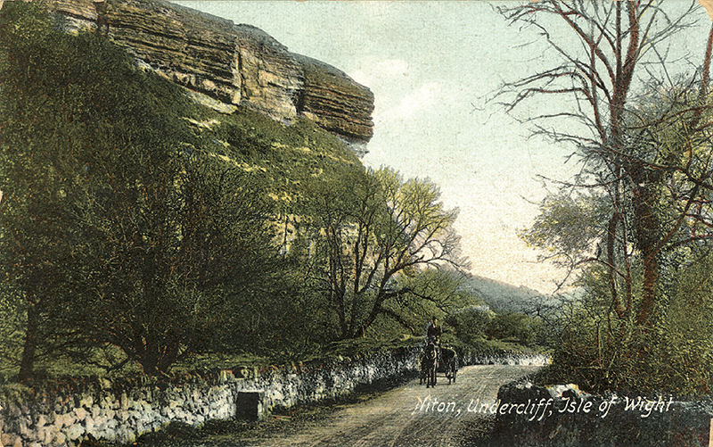
Niton Undercliff, to the west of Windy Corner, about 1901. (Frith) |
 |
 |
|
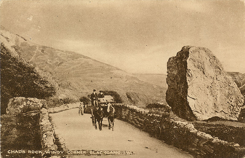
Chad's rock, Windy Corner from the west postmarked 1919. (Nigh) |
Motor Car on Undercliff, prior to the landslide. (Judges) |
 |
 |
|
The landslide July 1928, at Windy Corner on the Undercliff. (Knight) |
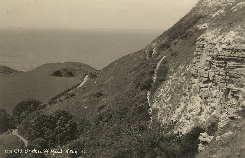
The Old Undercliff Road, card dated 1940. |
 |
 |
|
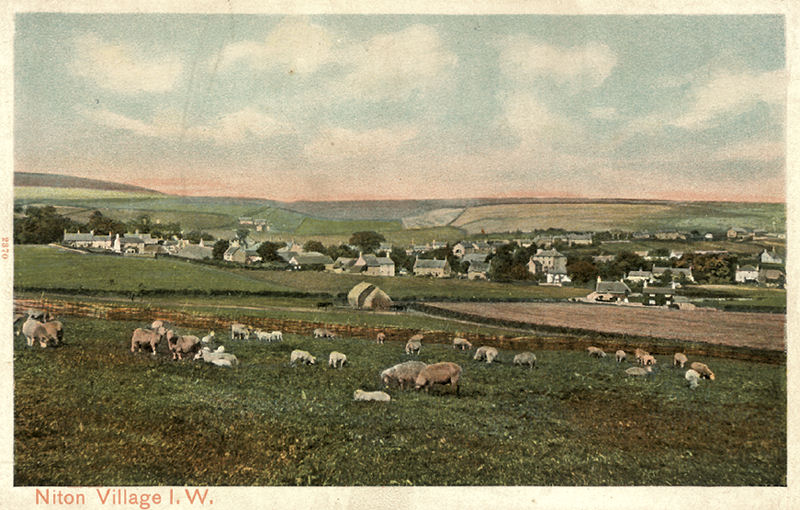
View of Niton Village, around 1910. (Peacock) |
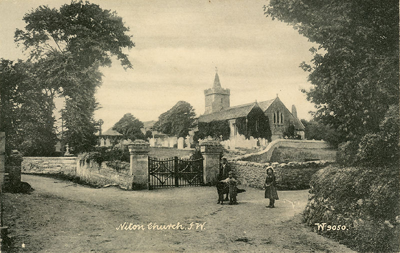
Niton Church, about 1910 |
 |
 |
|
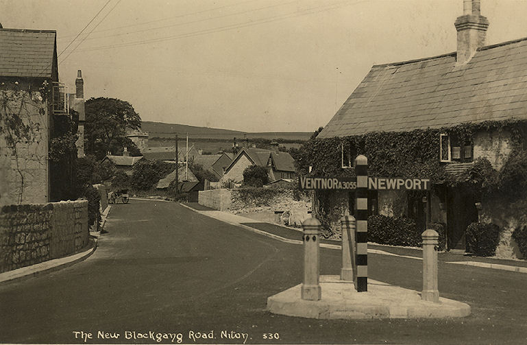
Niton village, looking towards Blackgang. The White Lion is on the left. Probably from the 1930's. A horse and trap in visible in the distance on the left hand side of the road |
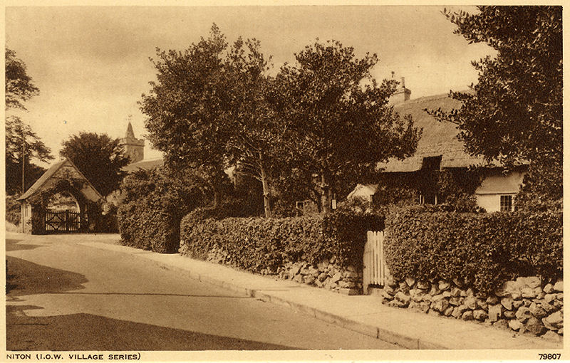
Niton Church approach, probably from the 1930's. (Photochrom) |
Freshwater | Totland | Alum Bay and the Needles | Yarmouth | Shalfleet | Newtown | Calbourne | Carisbrooke Castle | Newport and Carisbrooke | Cowes and Gurnard | Osborne House | Wootton, Fishbourne and Quarr | Ryde | Seaview | Bembridge | Brading | Sandown | Shanklin | Godshill | Arreton Valley | Ventnor | St Lawrence and the Undercliff | St Catherine's Lighthouse's | Niton | Blackgang Chine | Blackgang and Chale | Brighstone and Shorwell | Mottistone to Compton